

Why we monitor the extent of indigenous vegetation
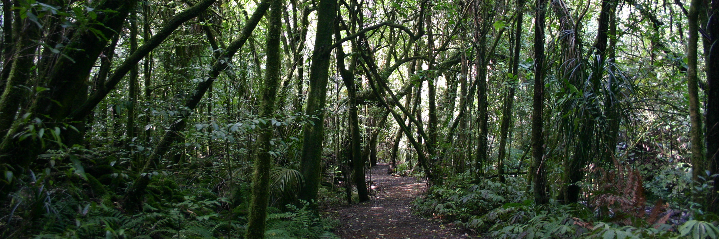
Areas of indigenous vegetation are an important storehouse of indigenous biodiversity. New Zealand is known internationally for its unusual plants and animals, many of which are found nowhere else in the world.
Loss of habitat, along with the introduction of animal and plant pests, has had a major role in extinctions and the high number of threatened species in New Zealand.
Even relatively recently, since the mid-1900s approximately 60 nationally threatened or at risk species have become regionally extinct, i.e. no longer present in Waikato Region. More than 300 indigenous species are known to be threatened with or at risk of extinction in the Waikato.
The areas of some ecosystem types, for example lowland forest and coastal forest, scrub and shrubland, have been reduced greatly - because the land they grow on is highly valuable for other uses such as farming or urban settlement.
Change in extent of indigenous vegetation means potential change in the diversity and security of native species.
Indigenous vegetation extent and distribution change indicates where natural areas have:
- reduced - for example through clearance
- increased - for example on retired land or as part of restoration efforts
- changed - for example scrub and shrubland have developed into native forest.
Waikato Regional Council monitors changes in indigenous vegetation extent to provide information on where land use pressures are occurring, which vegetation and habitat types are at greatest risk of loss and for reporting on biodiversity. This helps us identify policy responses to avoid or reverse adverse effects on our biodiversity.
This indicator is restricted to terrestrial indigenous forest, scrub and shrubland and tussock grassland. Other natural areas in the region, including wetlands and coastal habitats, are reported in separate indicator report cards.
What's happening?
Before European settlement (around 1840) 94 per cent of the Waikato region’s land area (2396587 hectares, i.e. excluding Lake Taupo) was covered in terrestrial indigenous (native) vegetation, with the other 6 per cent being areas of wetland, bare rock, permanent snow and ice, or areas of Māori cultivation or inhabitation. Forest covered 53 per cent of the region. Scrub and shrubland or tussock grassland covered a further 41 per cent, mostly in areas where fires were frequent, or the land was too wet or cool for forest.
Change in land use, for example to agriculture, plantation forestry and urban settlement, required clearing indigenous vegetation. Today around 648,905 hectares (27 per cent of the region’s land area) remains in terrestrial (land-based) indigenous vegetation cover, mostly indigenous forest (19 per cent of the region), and scrub and shrubland (8 per cent).
The greatest loss of terrestrial indigenous vegetation since 1840 occurred in the central Waikato lowlands, around Hamilton City and in the Waipa, Waikato, South Waikato and Matamata-Piako districts where fertile soils on gentler topography were suitable for livestock farming, or where the hills were cleared for pine plantations. Districts with more rugged hill country and extensive ranges, such as Taupo, Otorohanga, Waitomo and Thames-Coromandel have a greater proportion of indigenous forest, scrub and shrubland and tussock remaining.
Coastal, lowland and sub-montane bioclimatic zones (below 800 metres elevation) lost the most indigenous cover, with around 70 per cent of the coastal and sub-montane zones and over 80 per cent of the lowland zone cleared for another land use.
In more recent times, the rate of indigenous vegetation loss in the region has slowed, as much of the productive land has already been cleared and 70 per cent of remaining indigenous forest set aside in reserves.
Since 1996, the Land Cover Database (LCDB) records an estimated net loss of around 530 hectares of indigenous forest and 1240 hectares of indigenous scrub and shrubland, along with a gain of 46 hectares of indigenous tussock grassland. Between 1996 and 2012 the region lost terrestrial indigenous vegetation at an average rate of 85 hectares per year.
Between 2012 and 2018 the net rate of loss dropped to around 60 hectares per year. In that time the Land Cover Database reports a net loss of 89 hectares of indigenous forest and 312 hectares of indigenous scrub and shrubland. The actual amount of indigenous forest loss is considered to be much less (around 14 hectares) based on a visual assessment of the LCDB polygons that changed from indigenous forest to another land cover type against time-series Google Earth images. Many of the cleared areas classified as indigenous forest were either exotic forest or an indigenous scrub and shrubland class in 2012.
The amount of scrub and shrubland lost since 2012, through clearance or natural causes such as fire, was 619 hectares, but this was offset by a gain of 307 hectares, mostly through natural regeneration in areas of former exotic forest plantation.
No gains in area of indigenous forest, or loss in area of indigenous tussock grassland were detected between 2012 and 2018. All of the losses and gains in indigenous terrestrial vegetation since 2012 were to or from a non-indigenous land cover, with losses mostly to pasture grass (80 per cent) or plantation forest (12 per cent).
The lowland bioclimatic zone experienced the greatest net loss of terrestrial indigenous vegetation (405 hectares). There was no measurable change in area of indigenous vegetation in the areas above 800 meters elevation (montane to alpine zones), while the submontane zone (300 to 800 metres) gained 66 hectares of scrub and shrubland, and 46 hectares of tussock grassland.
Ninety two per cent of the loss of indigenous forest, scrub and shrubland since 2012 was from four districts (Waitomo, Otorohanga, Waikato and Waipa). The Rotorua district had a net gain of 105 hectares of indigenous scrub and shrubland.
New Zealand has been divided into Threatened Environments, comprising 6 threat categories. Since 2012 most of the ongoing clearance in the Waikato region occurred in moderately (20-30% indigenous cover left) to less threatened environments (> 30 % left and > 20% protected), indicating either that there is greater protection for vegetation in the most threatened environments, or that there is very little vegetation left in those areas to clear.
While there was no measurable increase in the amount of indigenous forest in the region since 2012, over time it is expected to increase through natural maturation (succession) of areas of scrub and shrubland into forest. Conversely, the region is likely to see an ongoing decrease in the extent of scrub and shrubland vegetation over the coming decades because of the:
- higher rate of clearance of scrub and shrubland compared with other native vegetation
- lower proportion of scrub and shrubland in protected areas
- natural maturation process of scrub and shrubland into forest.
However, restoration planting and retirement of unproductive land may offset this to some extent.
Methods - how we monitor
Results - data and trends


Download the data file
The Excel spreadsheet below contains the source data for this indicator's graph and information.
- The recent data (1996-2018) were sourced from the Landcover Database, collected from satellite image analysis.
- Historic (1840) vegetation1 was reconstructed in 1995 using settler accounts and maps, soil maps and interpretation based on current extent and early aerial photographs.
- Leathwick, J. Clarkson, B. and Whaley, P. 1995: Vegetation of the Waikato Region: Current and Historic Perspectives. Landcare Research Contract Report LC9596/022. Landcare Research, Hamilton.

More information
You can see how and where vegetation cover has changed over time using the New Zealand Landcover Explorer.
When this indicator is updated
The updating of this indicator is dependent on production of the updated LCDB. Because of the time scale at which vegetation change (other than clearance/drainage) occurs, it is unlikely that change will be monitored any more frequently than five yearly.
Data acknowledgements
The spatial data used in this project and dashboard includes:
- 1840 Vegetation for the Waikato Region. Leathwick, J. Clarkson, B. and Whaley, P. 1995: Vegetation of the Waikato Region: Current and Historic Perspectives. Landcare Research Contract Report LC9596/022. Landcare Research, Hamilton.
- Land Cover Database version 5.0 (LCDB v5.0). Manaaki Whenua Landcare Research.
- Territorial authority boundary 2020. Stats NZ.
- Threatened Environments Classification 2012. Manaaki Whenua Landcare Research.

To ask for help or report a problem, contact us
Tell us how we can improve the information on this page. (optional)