

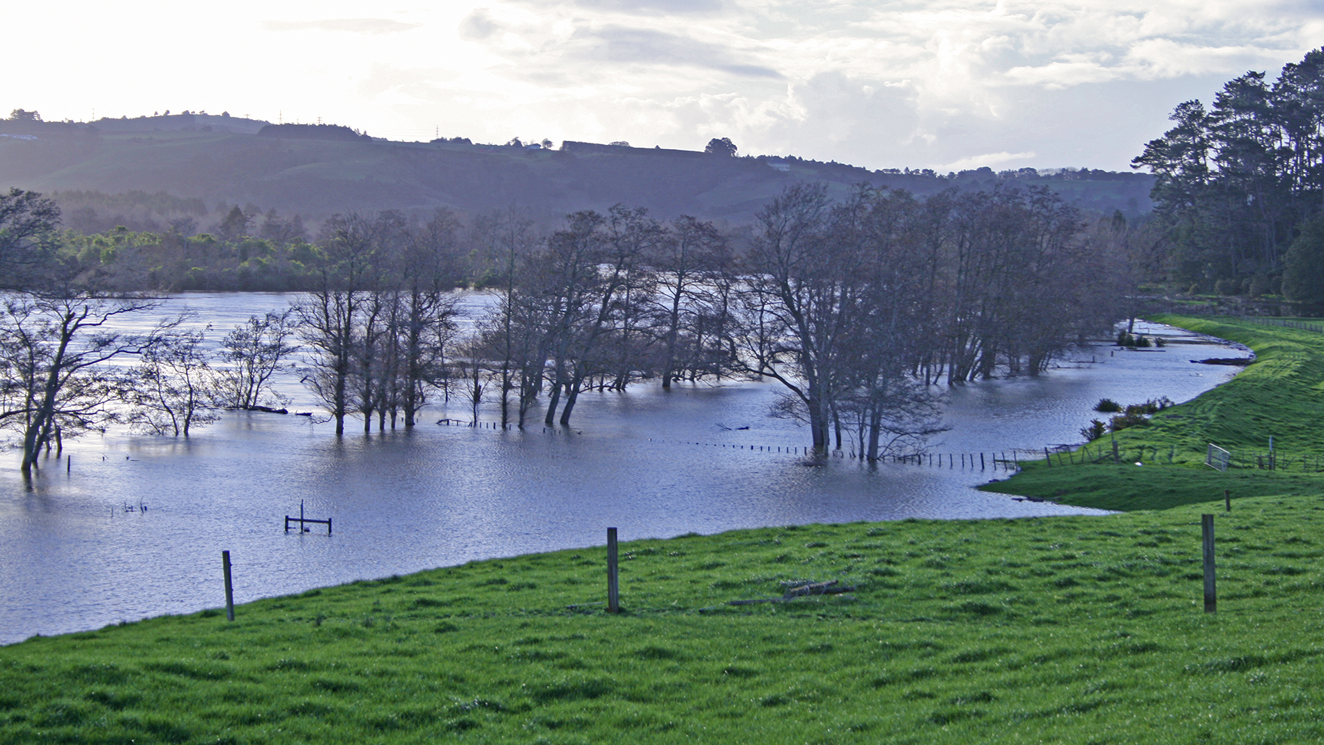
River and stream flows change naturally, mostly because of changes in rainfall and evaporation. Artificial changes to rivers, such as dams, diversions, culverts and land use can also affect flow.
Waikato Regional Council monitors river flow and levels in the Waikato region to help predict floods, minimising threats to human life and property, and to ensure enough water is available for human use while maintaining natural habitat for aquatic plants and animals. Changes in river flow over time also help tell us how often a river floods and how it responds to extended dry periods.
Rainfall and wetlands
How much, how hard and how regularly it rains influences river flow. The Waikato region’s average annual rainfall is 1,250 mm, ranging from:
- 1,100 mm in the Hauraki Plains
- 3,500 mm in the Coromandel Ranges and south of Taupō
- about 2,500 mm on the western ranges from Mokau to Port Waikato
- over 5,000 mm at Mt Ruapehu.
Wetlands play an important role in our water landscape as storage areas for floodwaters and have many plants and animals that have adapted to live in these conditions. Wetlands slow the flow of water off the land, soaking up excess flood water, and then slowly releasing water to maintain summer flows.
Flow variation
The most consistent flow is found in:
- spring fed streams of the Hauraki basin and Taupō area
- rivers flowing from lakes.
Rivers with little variation in flow usually:
- are large and can hold large volumes of water in their channels
- have few, small floods
- support many aquatic plants and animals.
High flow occurs in areas of high rainfall and steep slopes. These areas often experience large variation in flows, and frequent flooding. Low flow varies across the region.

To ask for help or report a problem, contact us
Tell us how we can improve the information on this page. (optional)