

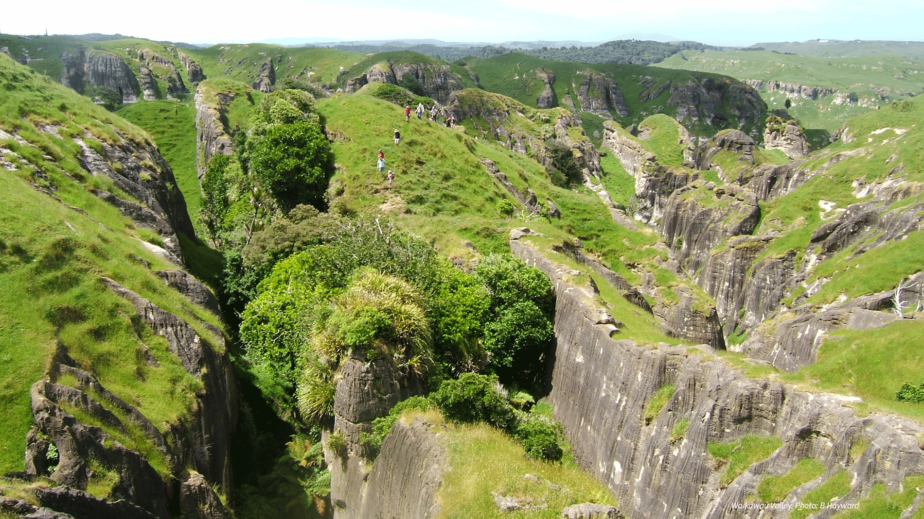
Karst is a limestone landscape with sinkholes, fluted rocky outcrops, disappearing streams, underground rivers, caves, natural bridges and springs. It develops because limestones made of calcium carbonate dissolve by rainfall over time.
The solubility of limestone widens fissures in the bedrock and allows runoff to penetrate underground and to develop caves. Because karst drainage is subterranean the surface has few streams, but subsurface streams are numerous like intricate storm water sewer systems and can travel several kilometers through caves before reappearing at the surface again. The flow rate in cave streams is about the same as in a surface river and there is little or no filtration.
The Waikato region has one of the largest areas of calcareous landscapes in New Zealand. This area is mainly concentrated in the west of the region in a band running from Port Waikato in the north through to Mōkau in the south. A small, isolated area of the calcareous Te Kūiti group is also exposed in the north of the Coromandel Peninsula. The variations of the karst ecosystems support high levels of biodiversity in the region.
Management of karst landscapes in the Waikato
You can also read our factsheet! You'll learn about the diverse karst landforms in our region, the life their ecosystems support, and how we can protect them.


To ask for help or report a problem, contact us
Tell us how we can improve the information on this page. (optional)