

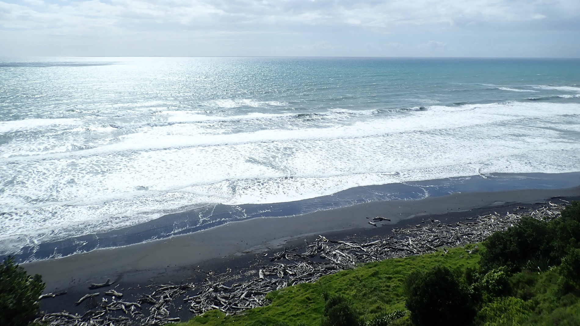
Coastal hazards in the Waikato
Our coastlines are dynamic and forever changing. Coastal and shelf sea processes such as wind, climate, waves, currents and tides influence the distribution of sediment, salinity and water borne particles that shape the coast, seabed, water quality and distribution of marine life. These processes also generate hazards along our coastline that pose risks to human life and property such as erosion, flooding and tsunamis.
Cam-era beach monitoring
We have cameras installed at Tairua and Ngarunui beach (Raglan), which provide data on rip currents, and shoreline change. The Cam-era project uses computer-controlled video cameras to monitor the coastal environment, while also providing images for beach-goers, such as surfers and swimmers. The Waikato Regional Council owns three cameras in a small network that has been established since this project started in August 1997.
These three cameras collect images every hour to monitor changes at Tairua and Raglan. The images can be used for researching beach processes such as waves, beach erosion and rip currents. These images are a great way to check out the local conditions at these beaches, including wave conditions and rips.
Shoreline change monitoring
We collect beach profile data at over 60 sites on the eastern coastline of the Coromandel Peninsula, and at Ngarunui Beach at Raglan. This monitoring programme has provided data on changes in the position of the dune at Coromandel beaches since 1979.
Sea level monitoring
We have water level recorders installed at five sites around the Waikato Region, which provide long term records of sea level rise. Click on the links below to see data from these sites.

To ask for help or report a problem, contact us
Tell us how we can improve the information on this page. (optional)