

About the Waipā River
The Waipā River is the largest tributary of the Waikato River. The Waipā River starts its journey to the sea from Pekepeke in the Rangitoto Range in the southern King Country, east of Te Kūiti.
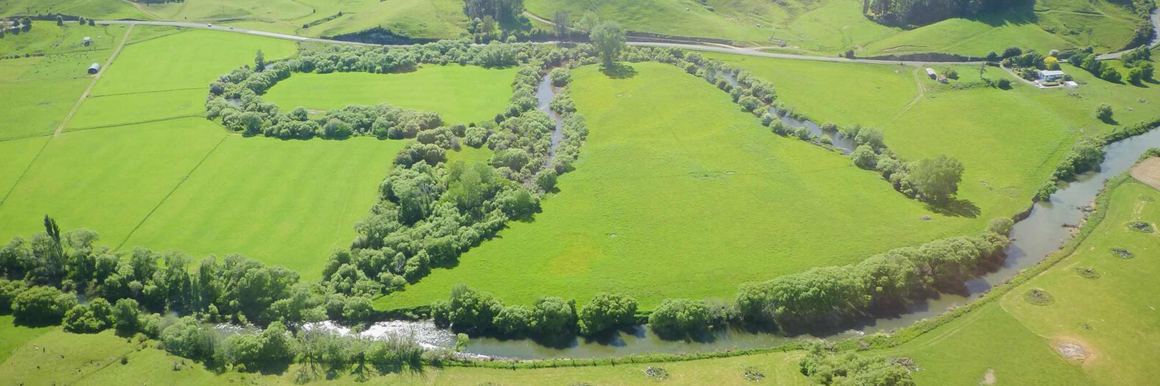
The Waipā River flows northwards through the towns of Ōtorohanga, Pirongia and Whatawhata, before meeting the Waikato River at its confluence in Ngāruawāhia, 115km from its headwaters in Pekepeke.
The Waipā River flows through a changed landscape. In the past the river left native forests and flowed through wetlands and peat bogs producing its distinctive tannin-stained brownish colour. Today, it flows through farmland with steep, erosion prone hillsides. This means that the Waipā River carries a lot of sediment, making it a murky brown colour.
The Waipā River is a tupuna (ancestor), a taonga (treasure), and the mauri (life force) of Ngāti Maniapoto. Find out about the relationship Ngāti Maniapoto has with the Waipā River and their concerns about its health in the preamble to the Ngā Wai o Maniapoto (Waipā River) Act 2012.
Key facts
- Length: 115km – the Waikato River’s largest tributary
- Tupuna to: Ngāti Maniapoto
- Headwaters: Pekepeke in the Rangitoto Range east of Te Kūiti
- Passes through: Ōtorohanga and Pirongia
- Finishes: Flows into Waikato River at Ngāruawāhia
Help protect the Waipā River
- Don’t tip hazardous substances (such as paint washings or used oil) into stormwater drains.
- Adopt careful land management practices to minimise contaminated runoff from your property. \
- Fence riverbanks to keep stock out and prevent stock damage.
- Work with the Waikato Regional Council to obtain a resource consent if you want to discharge wastewater to the river.
- Don’t waste water – use it more efficiently and effectively.

To ask for help or report a problem, contact us
Tell us how we can improve the information on this page. (optional)