

Our region has many wetland areas, including three of international importance - Whangamarino, Kopouatai and the Firth of Thames. Protection of our remaining wetland areas is critical as few remain and all are sensitive to changes in water flow, water quality, neighbouring land use and pests. Waikato Regional Council regularly monitors and reports on our region's wetland resources and the pressure they face.
What are wetlands?
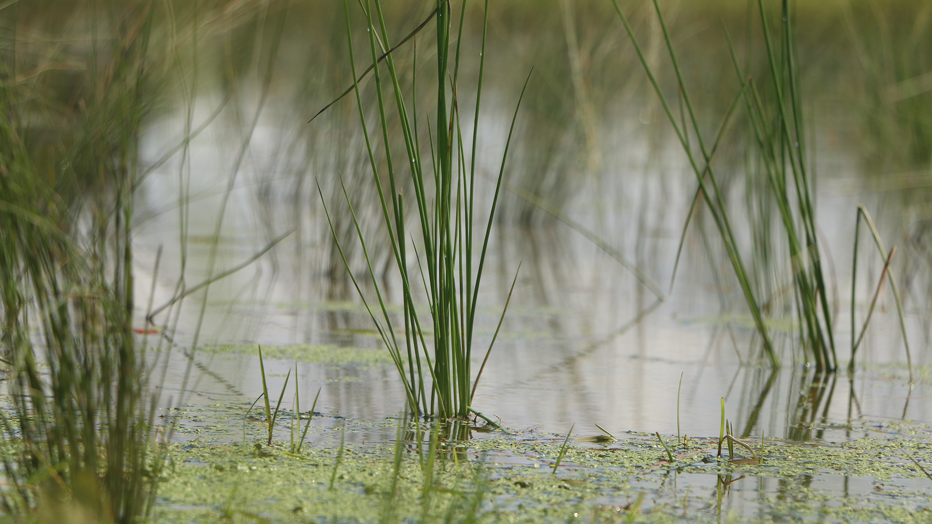
Wetlands are permanently or temporarily wet areas that support plants and animals specially adapted to wet conditions.
The types of wetlands and the plants and animals found in them depends on the water - its amount, depth, permanence, temperature, the chemicals found in it, and its source - groundwater, surface water or rainwater.
Waikato Regional Council helps protect wetlands through the Environmental Initiatives Fund and through wetland drainage rules.
Many landowners have restored wetlands on their property, or registered Queen Elizabeth II National Trust covenants or Ngā Whenua Rāhui kawenata over their wetlands to protect them in perpetuity.
The National Wetland Trust was established in 1999 to increase the appreciation of wetlands and their values by all New Zealanders. The Trust has been restoring a regionally significant peat lake and swamp forest complex as part of their plans to build a state-of-the-art wetland interpretation centre near Lake Rotopiko, between Hamilton and Te Awamutu.
Where are our wetlands?
Find out about the different wetlands in each district or city council area of the Waikato region.

Areas of international significance
The Waikato region is a New Zealand stronghold for wetlands. We have the two largest freshwater wetlands in the North Island, the country’s biggest river delta, and around 11 per cent of the nation’s remaining wetlands.
Some of our wetlands are listed on the International Convention on Wetlands of International Importance (Ramsar sites). There are only seven Ramsar sites in New Zealand. Three of them are in the Waikato region:
- Whangamarino Wetland
- Kopuatai Peat Dome
- the Firth of Thames estuary.
Types of wetland
The different plant types found in freshwater wetlands mainly depend on the wetland’s water supply and nutrient levels.
In the Waikato region there are two main types of wetland; low nutrient wetlands (bogs) and highly fertile wetlands (swamps). Fens are intermediate in fertility and sometimes occur at the edges of bogs.
No two wetlands are exactly alike. The look of a wetland and its mix of plants and animals vary with local conditions (for example, climate, water flow, altitude and substrate). Several different types of plant and animal communities may be present in larger wetlands and all wetlands may change over time as environmental conditions change.
Types of swamp and fen vegetation
Wetland decline
Over the last 160 years, the area of wetlands in the Waikato region has declined by around 75 per cent. Many of our remaining wetlands are being invaded by introduced pests. Despite the losses, our region is still a wetland stronghold and home to three internationally important wetland sites.
Between 85 and 90 per cent of New Zealand’s wetlands have been lost. In the 1840s an estimated 110,000 ha of wetland covered the lower Waikato area and Hauraki Plains. Since European settlement, many Waikato wetlands have been drained and converted to pasture.
Current estimates of the area of remaining freshwater wetlands in the Waikato region are around 27,000 ha (25 per cent of what we had). This figure includes Whangamarino wetland (7,100 ha) and Kopuatai Peat Dome (9,200 ha). Check out the area of wetlands in 1840 compared with today on our wetlands in the Waikato region map.
Over 80 per cent of our remaining wetlands are in lowland areas in the Waikato, Matamata–Piako and Hauraki districts. Check out our map showing the percentage of the region’s wetlands in each district.
Historic wetland types

1840 wetland extent

Current wetland extent

Habitat loss
Habitat loss and the isolation and fragmentation of wetlands have led to a decline in many wetland plants and animals, with many now threatened with extinction.
People’s activities in and near wetlands can cause changes, such as lowering the water table and increasing the amounts of nutrients in the soil and water. These, in turn, can cause changes in the vegetation (for example, the replacement of native sedges with willow). Willow now dominates the canopy of one third of the wetland area in in the region.
The table below lists the area of different wetland vegetation types remaining in each bioclimatic zone.
Area of each freshwater wetland vegetation type (hectares) in the Waikato region by bioclimatic zone
| Vegetation class | Coastal (< 1 km from the coast) |
Lowland (below 300m) |
Sub–montane (300 to 800m) |
Montane (above 300m) |
Total |
| Herbaceous vegetation (raupo, sedges, rushes) | 170 | 16,436 | 2,470 | 2 | 19,085 |
| Flaxland | 28 | 141 | 329 | – | 498 |
| Willow and alder | 2 | 7,867 | 31 | - | 7,900 |
| Total | 290 | 24,444 | 2,830 | 2 | 27,483 |
Threats to wetlands
Wetlands face many pressures. Drainage and infilling directly affect wetlands. Some land management practices have indirect effects, for example, nutrients and sediment can wash from the land into the wetland. Plant and animal pests can also cause problems. Careful management can decrease the effects of these threats on our wetlands.

To ask for help or report a problem, contact us
Tell us how we can improve the information on this page. (optional)