

Lake Whangape
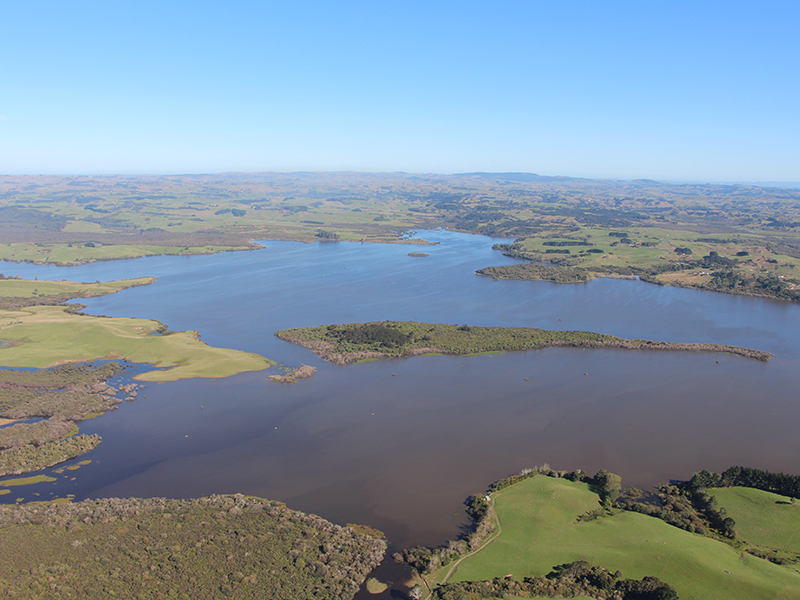
Lake Whangape is located north-west of Huntly and is the second largest lake in the lower Waikato catchment. It has a surface area of 1,450 hectares, an average depth of 1.5 metres and a maximum depth of 3.5 metres. The lake is hypertrophic, meaning it is very nutrient enriched.
The Lake Whangape catchment is mostly pastoral. However the lake has received inflows from coal mining in the past.
Lake Whangape drains to the Waikato River via the Whangape Stream. A rock rubble weir has been constructed on the outlet of the lake to protect the minimum water level.
Changes in water quality over time
In 1988 Lake Whangape was eutrophic with reasonably clear water.
Submerged aquatic plants (macrophytes) covered more than 95 per cent of the lake bed.
Oxygen weed (Egeria densa) was the dominant plant, although there was also:
- hornwort (Ceratophyllum demersum)
- blunt pondweed (Potamogeton orchreatus)
- Canadian pondweed (Elodea canadensis).
However, in 1987 populations of Egeria densa started to die off and Lake Whangape began to lose most of its submerged aquatic plants.
Our monitoring results during 2002 to 2004 show the lake is now hypertrophic with very high levels of Chlorophyll a and nutrients.
Can the lake's water quality improve?
In principle, controlling stock access to streams in the lake’s catchment and better management of sediment and nutrient losses from pastoral farming should reduce the sediment and nutrient load entering Lake Whangape. Such reductions would be expected to reduce the amount of phytoplankton and other particulate material present in the lakewater, thereby improving underwater lighting and improving conditions for the re-establishment of macrophytes.
However, at this stage it is not clear just how large a reduction in the sediment and nutrient loads from the catchment would be necessary to improve underwater lighting sufficiently for vigorous macrophyte regrowth. Furthermore, it is possible that even if a sufficiently large improvement in underwater light did occur, then macrophyte re-establishment could be restricted by other factors (for example, disturbance and grazing by introduced fish).
Therefore at this stage all that can be said is that improved management of the catchment may help to maintain the existing ecological values and may promote a recovery of the lake from its current algal-dominated state towards its previous macrophyte-dominated state. However, it is expected that such a recovery will be difficult to achieve because the current state of Lake Whangape appears to be rather stable.
Lake Whangape Restricted Place
Waikato Regional Council and the Department of Conservation (DOC) have declared that Lake Whangape is a Biosecurity Restricted Place. This includes the DOC land adjacent to the Lake wetland area, at the Tikotiko. The Restricted Place is in force to minimise the risk of further spread of alligator weed.
Lake Whangape - Restricted Place Area Map
The Restricted Place conditions for Lake Whangape are as follows:
- All boats, trailers and any other equipment including nets accessing the Restricted Place area must be cleaned to remove all vegetation prior to leaving the Restricted Place area.
- No plants are to be removed from, or relocated within, the Restricted Place without permission from Waikato Regional Council.
- No stock grazing is allowed in the Restricted Place area.
- No soil/aggregate movement is allowed in the Restricted Place area without prior approval from Waikato Regional Council.
If working in and around this area please call Waikato Regional Council on 0800 BIOSEC for further information.

To ask for help or report a problem, contact us
Tell us how we can improve the information on this page. (optional)