

Why we monitor stock access to waterways
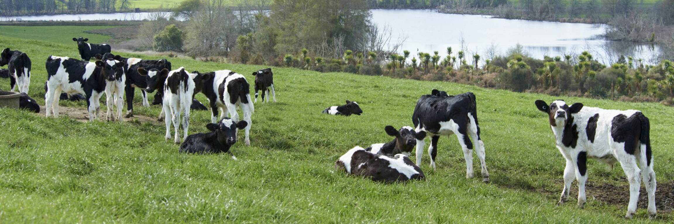
The streams and rivers in our region are under pressure from human practices. Stock access to waterways, water extraction, nutrient and sediment runoff, and vegetation clearance can change the environment of our waterways and this affects the water and habitat quality.
The Waikato Regional Council monitors riparian fencing to assess the risk of stock entering waterways. It quantifies the proportion of the region’s waterways that have fencing or require fencing to prevent stock access.
The regional riparian characteristics survey provides a repeatable and quantitative assessment of riparian fencing, vegetation, and stream-bank erosion through pastoral land in the Waikato region. In addition to supporting catchment management zone works the survey information potentially supports our biodiversity, biosecurity and environmental education strategies and work programmes.
The survey provides a benchmark on stock access to waterways and, through on-going monitoring, can provide a gauge of the effectiveness of Waikato Regional Council’s riparian policies.
Quantifying the length (and proportion) of stream banks fenced provides us with an indication of stock access to waterways and informs us as to what proportion of bank length still requires fencing in the region and/or management zone.
What's happening?
The amount of riparian fencing (expressed as a proportion of bank length) is used as an indicator of stock access to waterways. Excluding stock from waterways reduces damage to stream banks and vegetation, which indirectly reduces sediment loads and limits direct faecal contamination.
This indicator shows:
- There has been an increase in the amount of effective fencing (as a proportion of bank length) across the region from 28% in 2002 to 61% in 2017.
- This result means that, at the time of the 2017 survey, about two thirds of the bank length of the region’s waterways in pastoral land was protected against stock access.
- The rate of increase in the amount of fencing over the 2002-2017 period has been about 2.2 per cent of bank length per year.
- The configuration of the fencing observed (i.e. whether the fencing is present on both sides of the waterway, on one side only, or on neither side) suggests the fencing established over the 2002-2017 period has predominantly been placed on both sides of waterways.
How we monitor
Data and trends


Download the data file
The Excel spreadsheet below contains the source data to this indicator's graphs and any additional data. The data were collected in 2002, 2007, 2012 and 2017.
For more information, read the full technical report relating to the 2017 survey.

When this indicator is updated
The indicator is updated every five years. Data has been collected in 2002, 2007, 2012 and 2017 to coincide with Dairying and Clean Streams Accord targets.
Preparations for the next regional riparian characteristics survey, including any refinements to the survey method and design, will get underway in 2021/22. Data collection for the next survey is due to be undertaken during the summer/autumn period of 2022/23.

To ask for help or report a problem, contact us
Tell us how we can improve the information on this page. (optional)