

Riverine lakes
The Waikato region’s riverine lakes are part of an extensive wetland system that includes Lakes Whangape, Waahi, Waikare and the internationally significant Whangamarino Wetland. The lakes are linked to the Waikato River, New Zealand’s longest river.
This wetland system is one of the most important freshwater habitats in New Zealand.
What are riverine lakes?
Our riverine lakes were formed when alluvial deposits1 diverted the original path of the Waikato River, leaving blocked valleys and tributaries. Most of these riverine lakes still remain linked to the Waikato River.
The Waikato’s floodwaters determine the physical, chemical and biological characteristics of these riverine lakes.
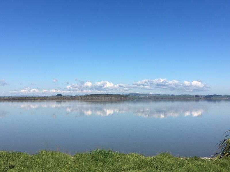
Riverine lakes are a valuable habitat for many unique birds, fish and plants. There are 14 riverine lakes in the Waikato region.
An important habitat
Threats to our riverine lakes
A botanical survey in 1870 reported that Waikato riverine lakes had high water clarity with many different kinds of native underwater plants. Surrounding the riverine lakes the original catchment vegetation was mixed podocarp-broadleaf forest with dense stands of kahikatea forest in the low lying valleys.
Since human settlement, clearance of the original forest and wetland vegetation and the switch to agricultural land use has substantially changed the condition of the lakes. Many of the lakes are now turbid (cloudy) and can’t support submerged plants.
Check out our Extent of Native Vegetation indicator to find out more about changes in the region’s vegetation cover since 1840. You can also view our map showing past and present wetland coverage in the Waikato region.
Riverine lakes are naturally shallow and exposed. In the past they were less affected by wave disturbance because:
- there was less sediment entering the lakes - due to dense vegetation cover around the lake edge
- they had communities of submerged aquatic plants that helped dampen the stirring effect of waves.
However, today vegetation clearance has increased sediment loads into the lakes and reduced water clarity. Submerged plants can’t survive in murky water and so die out. In addition:
- Stock grazing and trampling along lake edges reduces plant cover and prevents the establishment of a buffer of vegetation that helps to reduce nutrients entering the lake.
- Fertiliser, stock urine and dung increase nutrient levels in the lakes, causing algal blooms.
- Invasive plants such as grey and crack willow have displaced native sedges and rushes that once grew along the lakes’ edges. Introduced oxygen weeds largely replaced submerged native plants. The oxygen weed has since died off (due to lack of light and oxygen, increased nutrient levels and grazing by swans and fish such as rudd).
- Introduced koi carp and brown bullhead catfish stir up the lake sediments and uproot aquatic vegetation, affecting water quality. The lakes and remaining nearby wetlands are highly modified environments, dominated by introduced plants.
What we're doing
- Waikato Regional Council supports Lakecare groups in restoring the natural vegetation around lake edges and wetlands through fencing and planting.
- Weirs have been installed to maintain water levels in the lakes and wetlands. Lakes with water level control structures include Waikare, Whangape, Waahi, Kimihia and Hakanoa. A large rock rubble weir has also been installed in the Whangamarino River to protect water levels within the Whangamarino Wetland.
- Waikato Regional Council and the Department of Conservation provide advice and information about how to minimise the risk of spreading weeds and pest fish from one lake to another.
- A fish pass has been constructed at Lake Waikare to allow the movement of eels, mullet, inanga and smelt into the lake.
- The Regional Pest Management Strategy restricts the sale and movement of pest fish around and into the region.'
- Waikato Regional Council controls the discharge of pollutants (for example sediments and nutrients) to waterways through the Regional Plan.
- A resource consent is required for wastewater to be discharged to a water body (such as from dairy farms, sewerage or factories).
Footnotes
- Sediments deposited by water, such as sand and silt.

To ask for help or report a problem, contact us
Tell us how we can improve the information on this page. (optional)