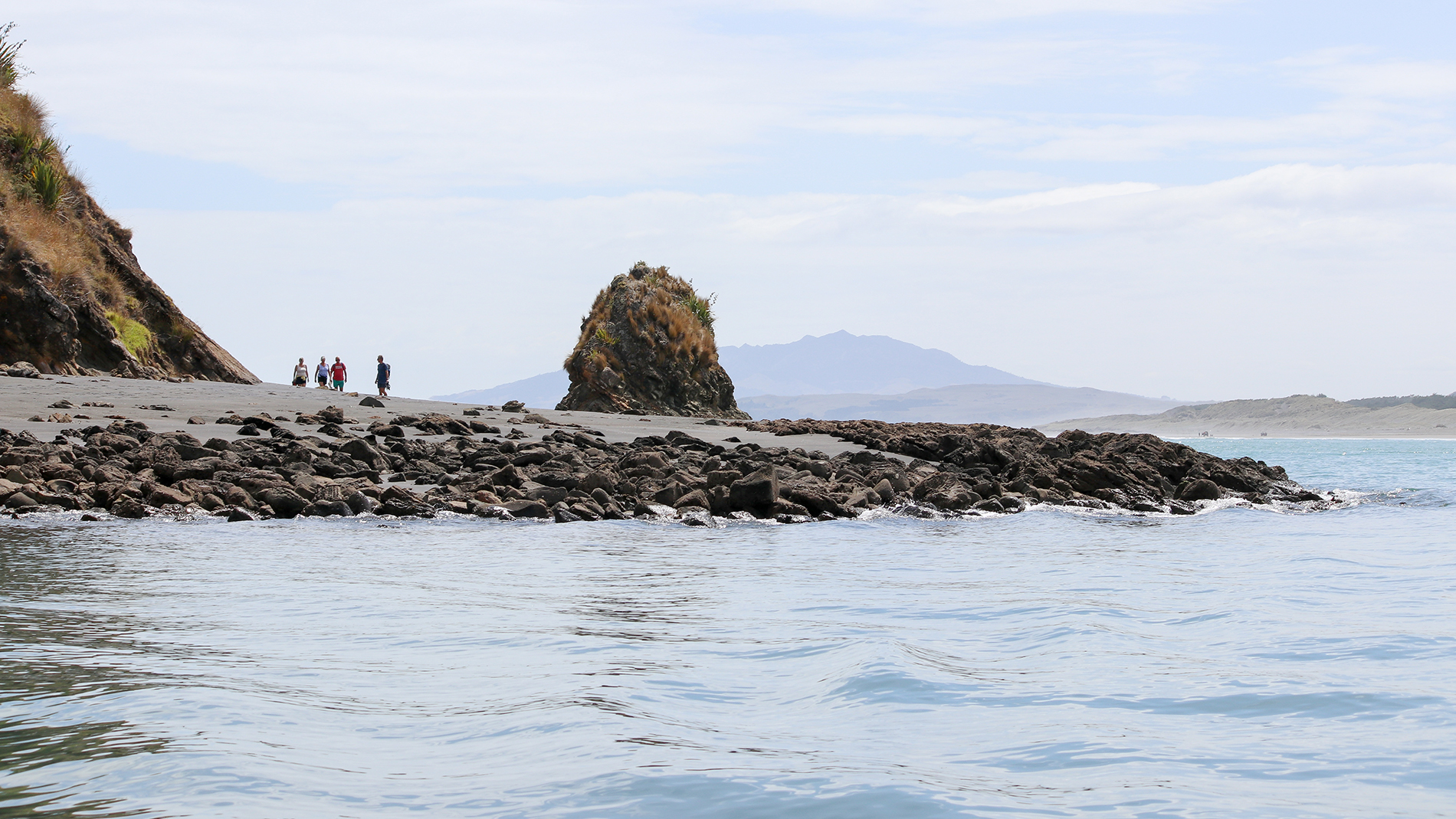
The West Coast zone covers a large geographic area of 425,835 hectares, or approximately 17 per cent of the Waikato region, stretching from Port Waikato in the north, to Mokau River in the south, and as far inland as Benneydale.
Its rivers and streams drain a large number of catchments to the Tasman Sea. The zone encompasses three district councils; Waitomo, Ōtorohanga and Waikato; and overall has a low population base of less than 3 per cent of the region’s population (Statistics New Zealand, 2006). Key settlements include Aotea, Aria, Awakino, Benneydale, Kāwhia, Marokopa, Mokau, Piopio, and Raglan.
Zone news and information
Hill country erosion project
Waikato Regional Council secured $1.39 million from the Ministry for Primary Industries’ Hill Country Erosion Fund for 2019-2023 for Awakino, Aotea Harbour, Kāwhia Harbour, Mokau, Marokopa and Whāingaroa Harbour catchments.
The funding means farmers in these catchments can get up to 70 per cent of the cost of soil conservation works on their land paid for. This work can include fencing to retire unproductive land from grazing and the planting of natives or willow/poplar poles to help control erosion.
The fund also supports forestry planting and educating owners about soil erosion risk and appropriate land use options.
In total, about $3.98 million will be spent on hill country erosion works in the West Coast Zone in the next four years.
West Coast Zone newsletters

West Coast Zone Management Plan
Zone management plans (ZMPs) are the primary tools for implementation of all river and catchment management activities within each zone. Each ZMP includes the following details:
- vision for the zone
- strategy to achieve the vision
- activities to implement the strategy
- set of services levels and performance standards for the activities
- financial strategies and funding arrangments.

To ask for help or report a problem, contact us
Tell us how we can improve the information on this page. (optional)