

About the Kāwhia catchment
The catchments of Kāwhia Harbour cover approximately 48,000 hectares of land along the west coast of the North Island. The Kāwhia catchment includes 709 kilometres of streams and has been split into seven sub-catchments for management purposes: Kāwhia, Mangaroa, Oparau, Te Kauri, Awaroa, Te Toi and Waiharakeke.
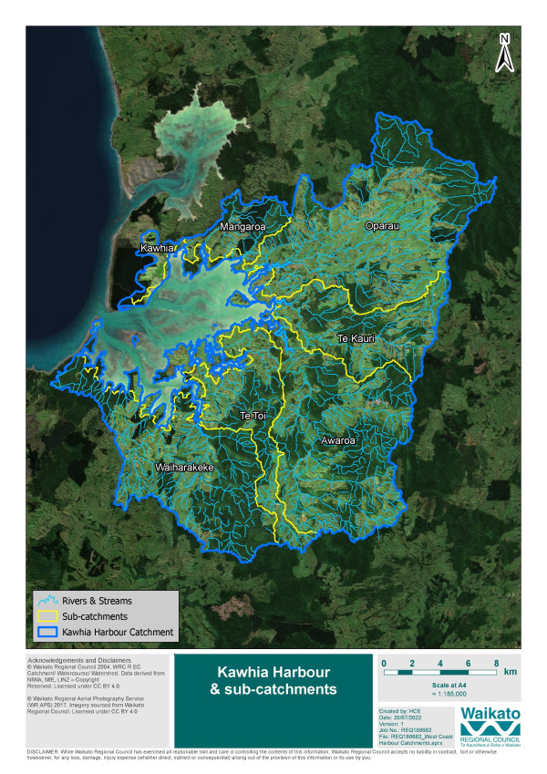
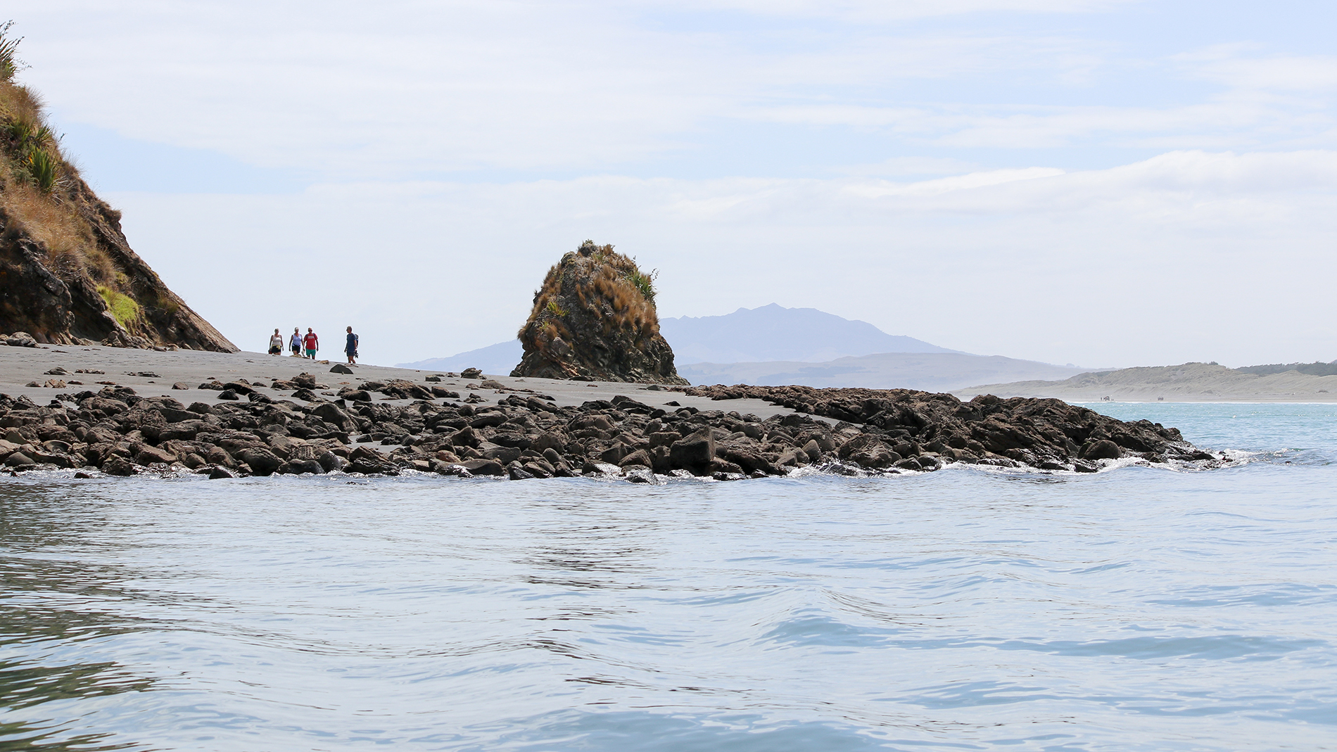
Kāwhia is the largest of three harbours on the west coast, covering an area of 6,765 hectares, with five estuaries and with 158 kilometres of coast.
The Kāwhia catchment has changed and developed over time particularly since human settlement. Removal of native vegetation has resulted in increased area of pasture for farming and as other catchment and land use activities increased there has been a change in sediment generation, decline in water quality and indigenous biodiversity and pest animals and plants have increased.
Kāwhia catchment by the numbers:
- 48,012ha of land
- 6764ha of harbour
- 74% harbour exposed at low tide
- 158km of coast
- 709km of streams
Land use:
- 37% indigenous vegetation
- 0.6% wetlands
- 10% mānuka/kānuka
- 32% pasture
- 3% forestrty
- 84% steep land
- 61% farming
Jack Te Papi Cunningham feels it is his duty to ensure that the rich history of the Kawhia Harbour is retained. In this episode of Waka Huia he shares the meaning of known proverb ‘Kawhia Kai, Kawhia Moana, Kawhia Tangata’ through the eyes of local iwi.
Credit: TE KARU PAPI A TE RAUWHINGA TE ONEHAHAU CUNNINGHAM (JACK)

To ask for help or report a problem, contact us
Tell us how we can improve the information on this page. (optional)