
Our Whitianga office will be closed to the public on Friday 26 April. Our staff are still working and can be contacted via our freephone 0800 800 401.

Our Whitianga office will be closed to the public on Friday 26 April. Our staff are still working and can be contacted via our freephone 0800 800 401.
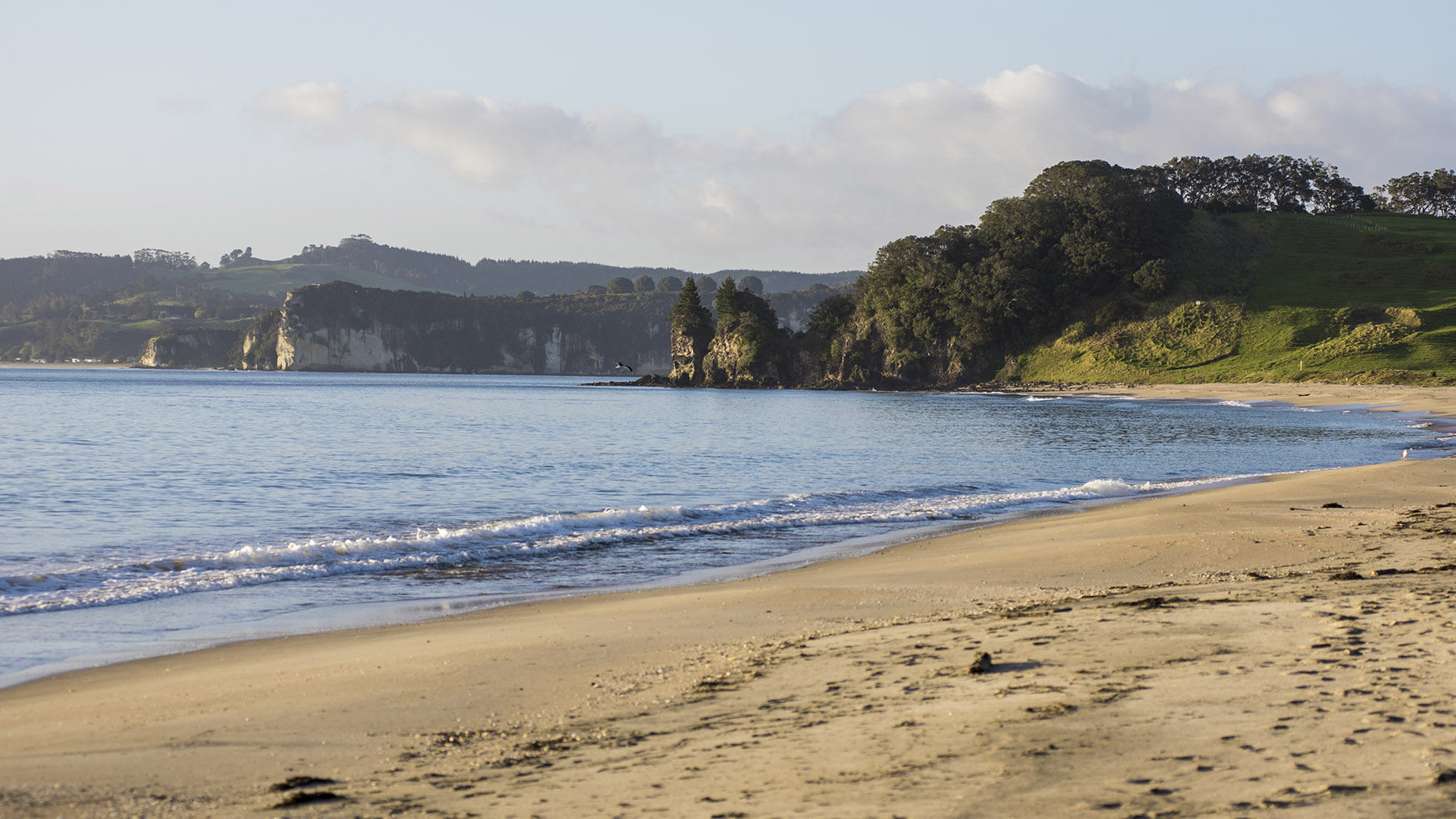
The harbour and catchment plan for Whitianga/Mercury Bay will cover from Waitaia Bay to Sailors Grave, including land area, and Whitianga Harbour and Purangi Estuary.
The land area is about 54,000 hectares and includes 198 kilometres of streams and rivers. It’s made up of 11 sub-catchments:
Of the land area:
Whitianga Harbour is about 1690 hectares, has about 74 kilometres of harbour margins and 141 kilometres of coastline.

To ask for help or report a problem, contact us
Tell us how we can improve the information on this page. (optional)