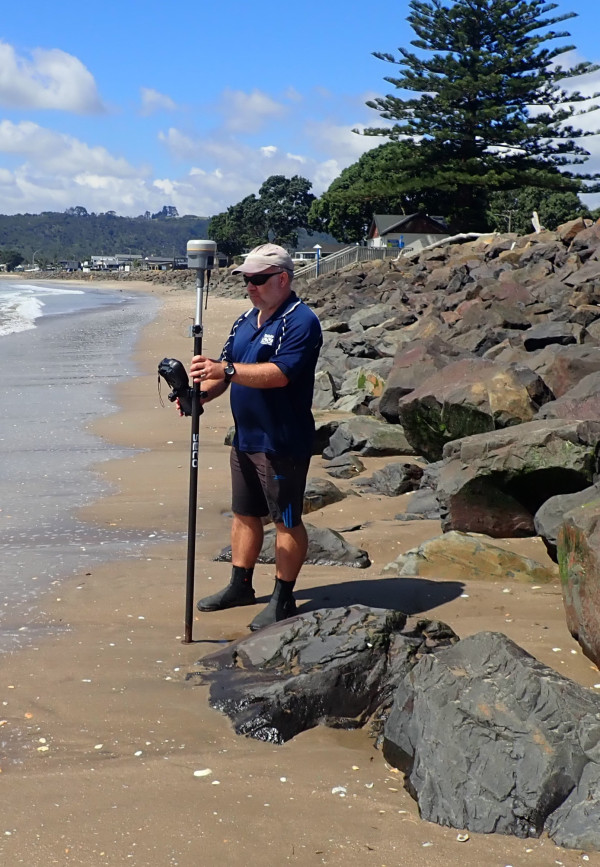
“A lot of these beaches have long term cycles of erosion and accretion. Having long term data is important for capturing these cycles and capturing cycle variability.”
- Nathan Singleton, Senior Environmental Monitoring Scientist
Nathan Singleton at Hahei.
Cyclone Gabrielle caused some of the greatest shoreline changes at more than half the sandy beaches in the Coromandel Peninsula since monitoring began by Waikato Regional Council.
The council has monitored shoreline change (erosion and accretion/beach building) at 102 sites on 27 beaches in the peninsula since the late 1970s, and measurements taken after the cyclone showed significant erosion at 14 of the 27 beaches. Some dunes had eroded back the furthest since monitoring began.
Senior environmental monitoring scientist Nathan Singleton said the council usually monitors shoreline change annually in September, however, it had been out measuring shoreline change in the fortnight immediately after the event.
Data relating to an extreme post cyclone event was invaluable to assess the impact on Coromandel beaches and guide work on future adaptation planning, he said.
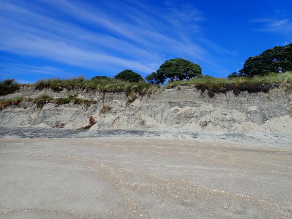
Sandy beaches are naturally prone to changes in shoreline position. Shoreline change occurs in response to major storms and changes in climate patterns over longer time periods. Individual storms can cause a dune to erode by several metres over days or even hours. This erosion often recovers naturally in the following months, however, it can take many years for a beach to recover from a major storm.
A trend for erosion or beach building can also occur over a decadal cycle, usually in response to climatic cycles, such as ENSO (the El Niño-La Niña cycle). By monitoring shoreline change, we will also be able to detect whether there is a long-term trend for erosion to occur with climate change, either from accelerated sea level rise or a modified wave climate.
“A lot of these beaches have long term cycles of erosion and accretion. Having long term data is important for capturing these cycles and capturing cycle variability,” said Nathan.
Whiritoa beach north post cyclone
Councils need to understand the extent of natural beach change to sustainably guide existing and new developments on the coast. Reducing, and where possible avoiding, coastal hazard risk is an important part of regional and district council planning. Shoreline change information is one tool
that can be used to understand which areas of coastline are at risk from erosion due to natural processes over periods of decades.
Houses and infrastructure that have been built close to the sea are vulnerable to the natural fluctuations. Engineered structures such as seawalls are sometimes placed on the beach to protect at-risk assets, but these can, in some instances, damage the natural and recreational values of the beach and can transfer the erosion risk to the adjacent coastline.
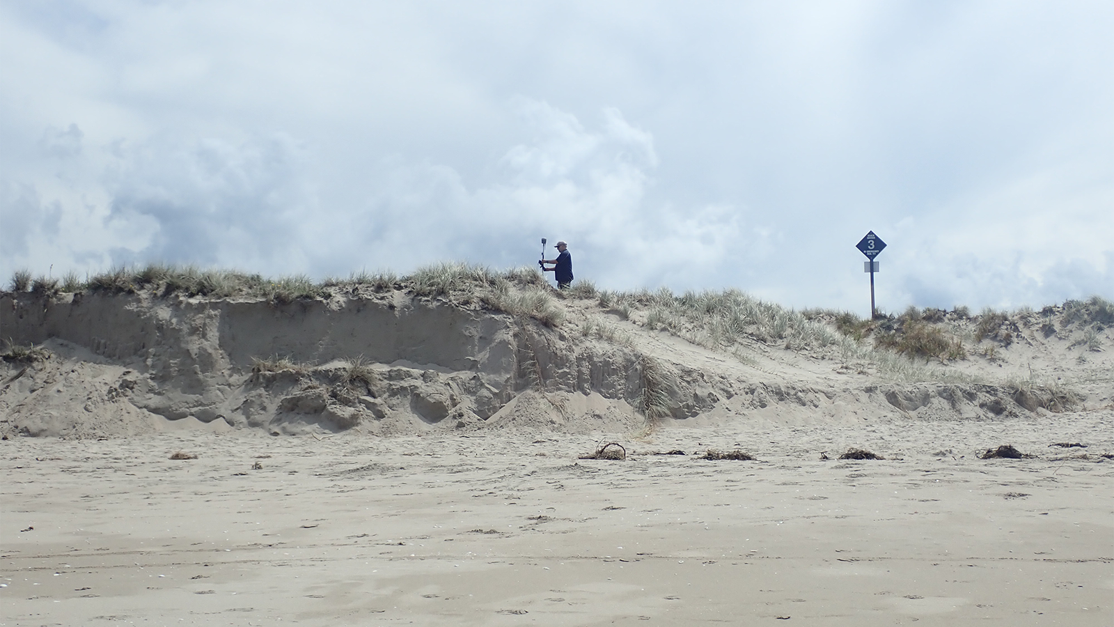
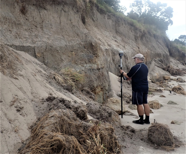
At the 102 specified sites, measurements are taken along a transect line, including at the dune toe and edge of vegetation, to determine vertical and horizontal shoreline changes over time.
Buffalo Beach
“I saw some of the biggest cuts in the dunes I have ever come across in my time at council,” said Nathan, who has been in his role monitoring the beaches for nearly 20 years.
“Hahei, Whiritoa, Pauanui and Whangamata had 2-4-metre-high sand cliffs and visually, it was wow, crazy, I almost needed a ladder to get down to the beach.
Walkways were also undermined at Matarangi and Whangapoua.
The data collected over the years show, in general, that the position of the dune toe along the Coromandel beaches fluctuates, but there is no clear widespread long term (permanent) shoreline change. It also shows that shorelines don’t all respond in the same way to any one storm.
Measuring the dune toe is useful as it is a parameter that can be obtained from multiple forms of monitoring such as beach profiles, monitoring cameras, historic aerial photos and LiDAR (using light from a laser). Dune toe is also an easy parameter to communicate to the public, with direct relevance to coastal hazard and the health of the dunes.

To ask for help or report a problem, contact us
Tell us how we can improve the information on this page. (optional)