On this page
About the Waikato River
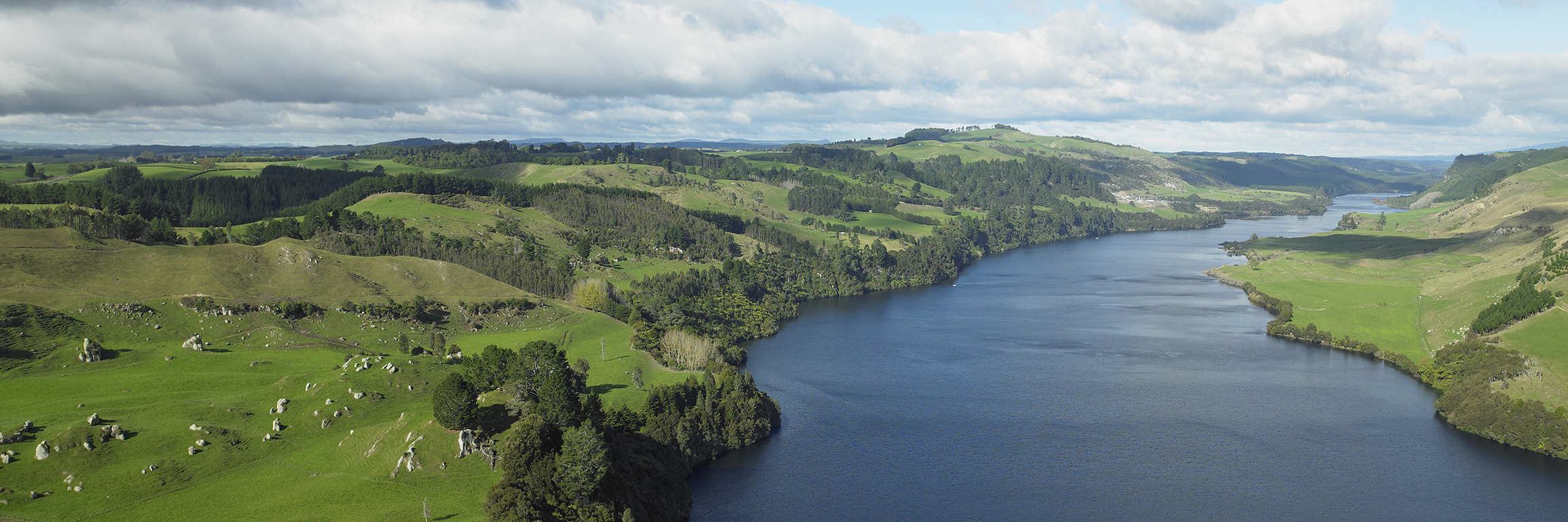
The Waikato River is the longest river in New Zealand, and is a tupuna (ancestor), a taonga (treasure), and the mauri (life force) of Waikato-Tainui, Raukawa, Ngati Tūwharetoa and the Te Arawa iwi.
The river starts its journey to the sea from high in the central North Island volcanic zone, 2797 metres above sea level. From there it flows into Lake Taupō.
Leaving the lake, the river cuts through the volcanic plateau flowing north, passing through hydro electric dams and onto the lowlands from Cambridge to Mercer.
The river finally flows into the Tasman Sea at Port Waikato.
Key facts about the Waikato River
- Length: 425km from Lake Taupō - New Zealand's longest river
- Tupuna to: Waikato-Tainui, Raukawa, Ngati Tūwharetoa and Te Arawa iwi
- Headwaters: Mt Ruapehu
- Passes through: Lake Taupō, Huka Falls, Cambridge, Hamilton, Ngāruawāhia and Huntly
- Finishes: Puuaha o Waikato (Port Waikato)
- Catchment: covers 14,260 square km or 12 per cent of the area of the North Island
- There are eight hydro electric dams, capable of generating 1450MW of electricity, in the middle reach of the river. The Waikato region generates more power than any other region in New Zealand.
- Lake Karāpiro, the largest hydro lake on the river, is home to a variety of cultural and sporting events, including those at an international level.
- It takes several weeks for a drop of water to flow from Lake Taupō to Port Waikato. Without the dams it would take about seven days.
More information
The health of the Waikato River and catchment
The following report was prepared for the Guardians Establishment Committee in March 2008.
