

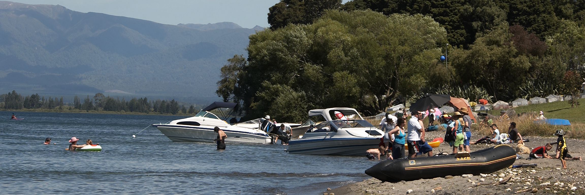
Taupō–nui–a–Tia (Lake Taupō) is a national treasure - a clean, clear lake, with excellent water quality for swimming and for the plants and animals that live in it.
Fact file
- Lake Taupō was formed by a series of eruptions, the most recent of which - around eighteen hundred years ago - blasted out about 60 cubic kilometres of earth, rock and mud, leaving a massive crater.
- More than 30 rivers and streams flow into the lake, with only one outlet – the Waikato River.
- The full name of the lake is Taupō–nui–a–Tia, which means the great cloak of Tia. Tia, one of the great fighting chiefs of the Arawa Canoe, is credited with discovering the lake.
- Lake Taupō is 30 km wide and 40 km long. The lake's deepest point is approximately 160 metres, it contains 59 cubic kilometres of water and is between a minimum of 355.85 metres and a maximum of 357.20 metres above sea level (depending on inflows and hydro-electric activity).
- Lake Taupō is 622 square kilometres in area. Its catchment is about five times the size of the lake.
- The entire Lake Taupō catchment, including the lake, is 3487 square kilometres – 14 per cent of the Waikato region.
- Lake Taupō is home to many native plant species, at least 31 species of aquatic birds and a number of native and introduced fish, including koaro, common bully common smelt, rainbow trout and brown trout.
- There are problem pests in the lake. Catfish have been recorded since 1985. Catfish are a pest because they feed on freshwater snails, koura, bullies and smel, and have been known to attack juvenile trout. Oxygen weed, pondweed and hornwort are also growing weed problem in the lake, and compete with native plant species.
Find out more about Lake Taupō
Looking after our lake
-
Lake Taupō continues to have high quality, clear water that is safe to swim in.
More than 30 streams and rivers drain into Lake Taupō from the catchment. An annual rainfall of between 1250 mm and 2000 mm over much of this land gives Lake Taupō a relatively constant source of new water.
But because it is such a large, deep lake, it can take a droplet of water 11.5 years to pass through the lake before it flows out into the Waikato River.
Waikato Regional Council tests the water from both the lake’s edge and a deep water site. However, since the mid 1970s, nitrogen has built up in the bottom waters.This could lead to reduced water clarity, blooms and scums of algae and could affect the amount of dissolved oxygen needed by the plants and animals that live in the lake.
How clean is the lake?
What we're doing
What you can do
Human Health Risk Assessment
You can download the pdf below to read the report on Human Health Risk Assessment - an action plan to protect the health of Lake Taupō and its surrounding area.


To ask for help or report a problem, contact us
Tell us how we can improve the information on this page. (optional)